Topographic Surveys to Identify Medieval Structures and Underground Cavities
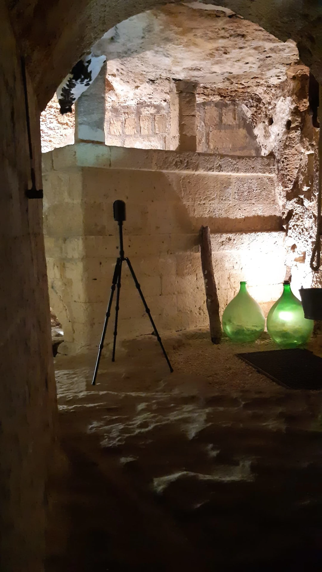
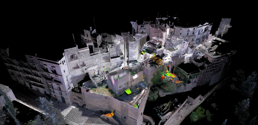
Archimeter has conducted commissioned topographic surveys to accurately determine the location of fronts and dimensions of the medieval bastion, buildings, and roadways, along with the underlying anthropic cavities.
In addition to creating a georeferenced point cloud, Archimeter has produced plans at various depth levels, elevations of building fronts and the medieval bastion, and numerous sections showcasing the correspondence between urban structures and the underlying cavities.
Rely on Archimeter's expertise to obtain detailed information about the historical and structural configuration of these significant areas.
Project Description
- Location: Gravina in Puglia, Bari, Apulia, Italy
- TAG: #mesh #point cloud #pit san marco #prospect #rendering #3d laser scanning


