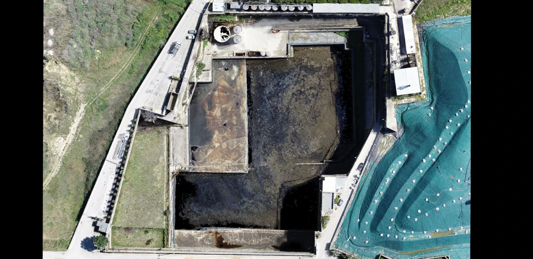
Survey of an industrial wastewater treatment plant
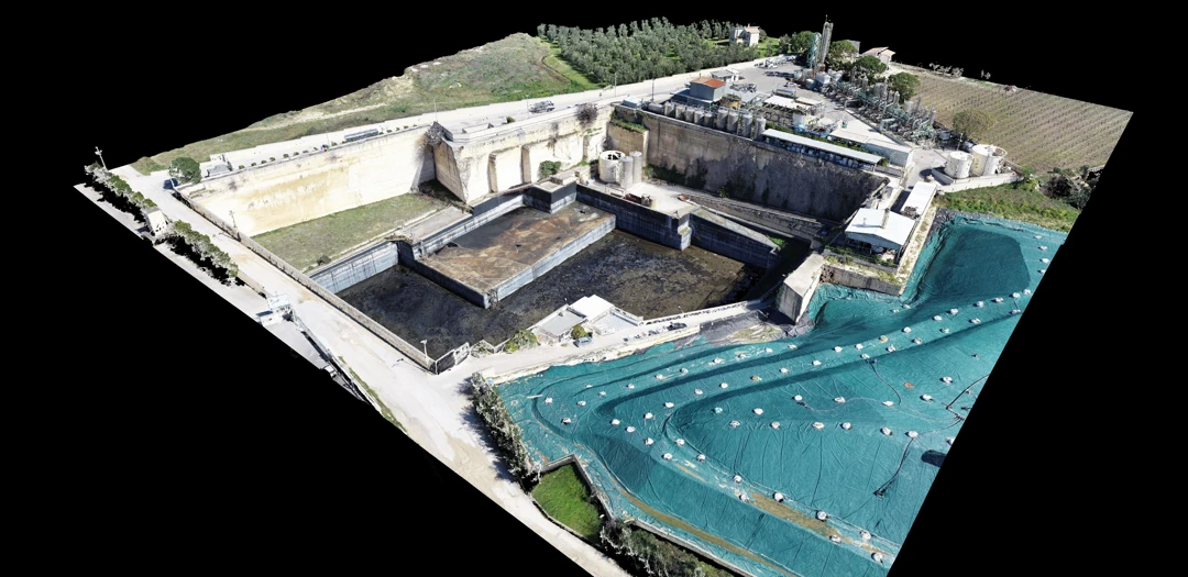
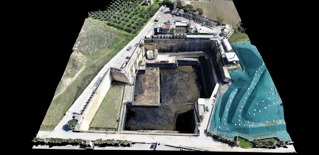
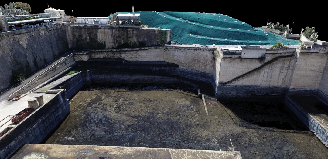
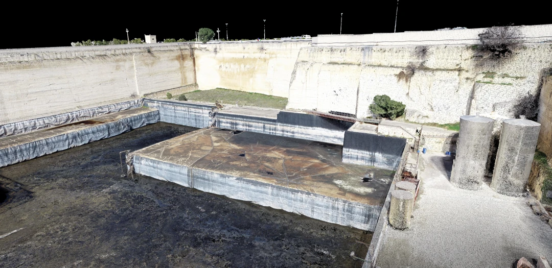
Archimeter technicians performed an aerial photogrammetric survey of an industrial wastewater treatment plant for monitoring and volume calculations.
A georeferenced 3D model was created, from which 2D outputs were generated.
