Road survey
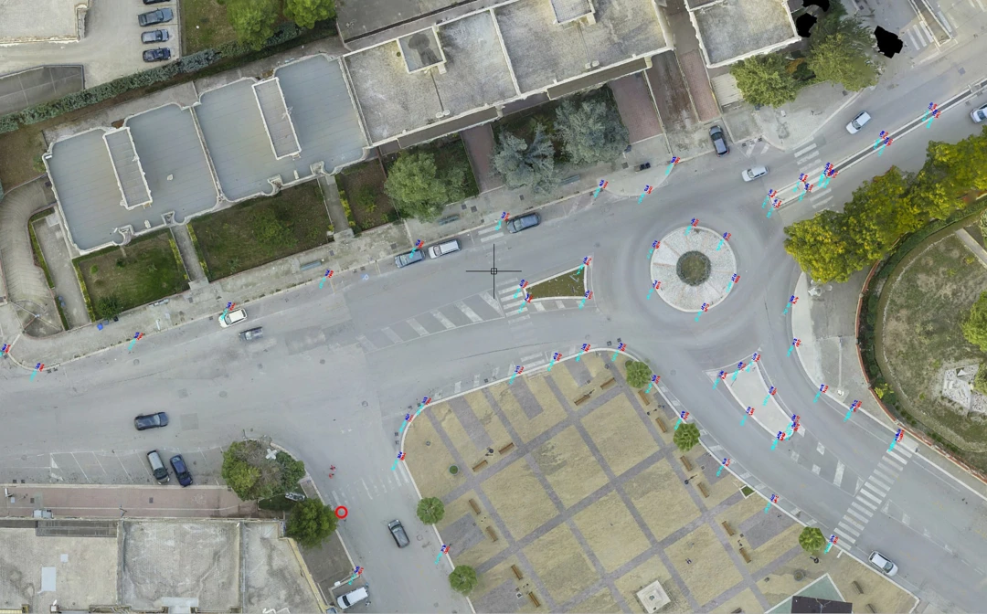
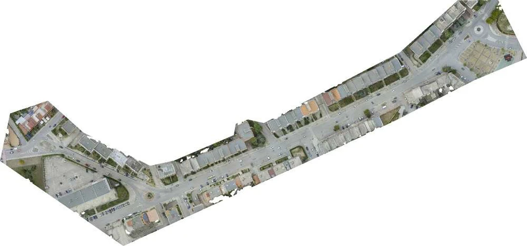
Archimeter has carried out plano-altimetric and detailed topographic surveys using GPS methodology, 3D laser scanner and aerophotogrammetry with the aid of U.A.V. for the creation of 3D models, plano-altimetric drawings and quoted orthophotos.
The road surveys carried out by Archimeter technicians are preparatory to the reconstruction of the infrastructures, to the study of horizontal and vertical signs, to the identification of services and sub-services, to the design of new road solutions and furnishings.
Project Description
- Location: Canosa di Puglia, Barletta-Andria-Trani, Apulia, Italy
- TAG: #orthophoto #3D model #road #survey #3d laser scanning


