Military facility ex Caserma Savorgnan - Udine
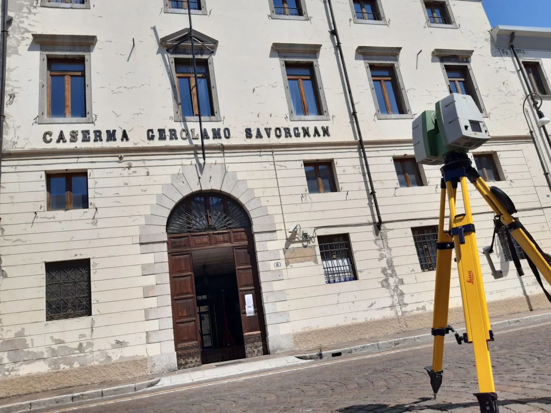
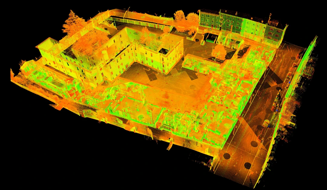
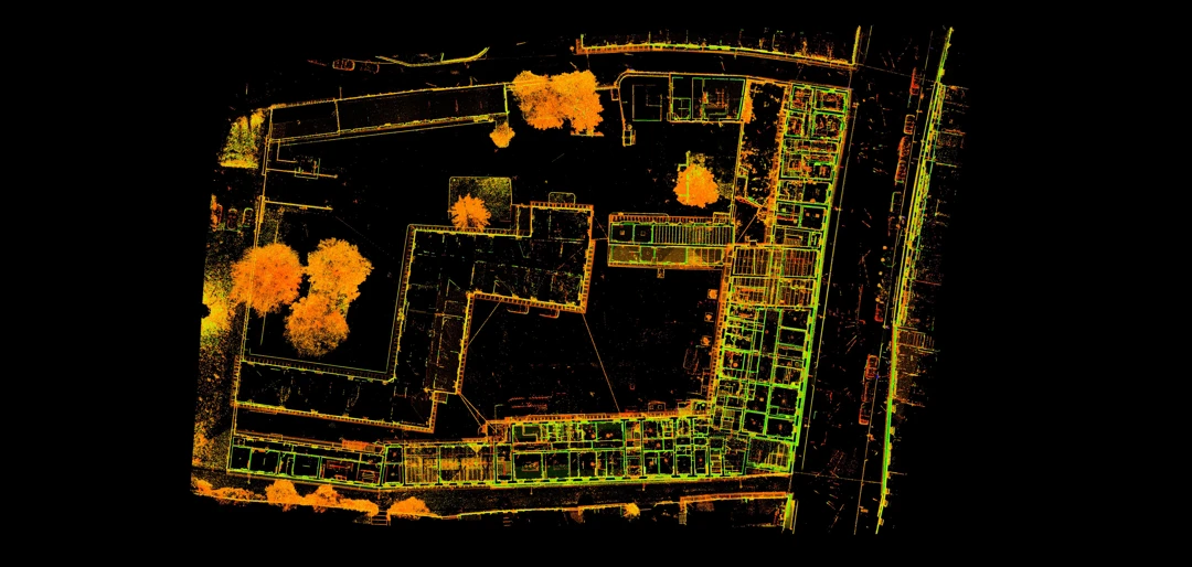
Archimeter was commissioned the task of geometric survey with 3D laser scanner methodology of the military facility Ex Caserma Savorgnan for the verification of seismic risk, reduction of vulnerabilities and restoration.
A topographic polygonal was created to support the 3D laser scanner survey.
Aerial photogrammetric surveys were carried out for the creation of orthophotos, photomaps of the elevations of the structure and for the generation of point clouds of the roofs (pitched roofs) for integration with data from 3D laser scanners.
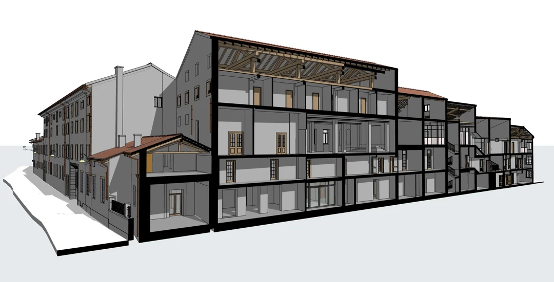
The acquisitions of the surveys were used for the creation of a BIM model with all the structural informations.
Project Description
- Location: Udine, Friuli-Venezia-Giulia, Italy
- TAG: #photomaps #topographic polygonal #3d laser scanning
